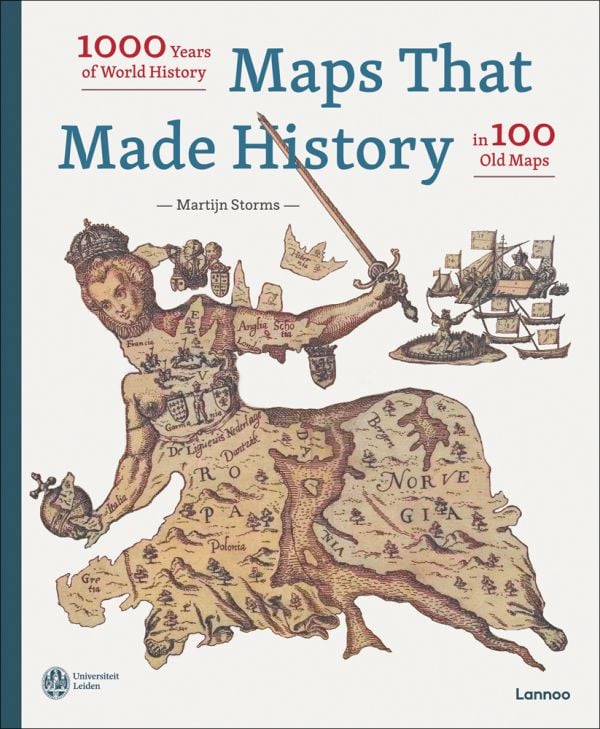

Maps that Made History
1000 Years of World History in 100 Old Maps
Log in to add this to your wishlist.
Share This Book...
- 100 exceptional maps that put their mark on world history
- The most beautiful maps from the renowned collection of the University of Leiden in a luxurious XL format
- From the worldview of Isidorus of Seville (7th century) to a Chinese propaganda map from 2013
Full Description
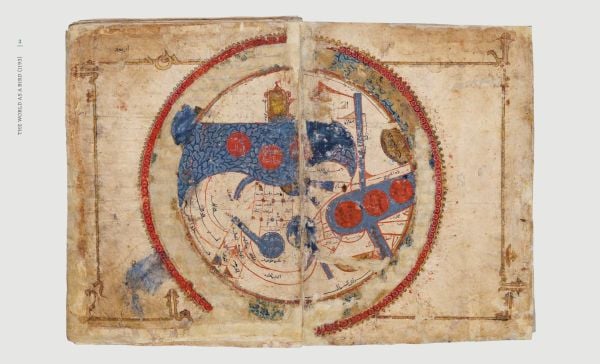
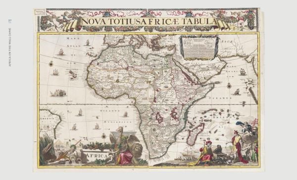
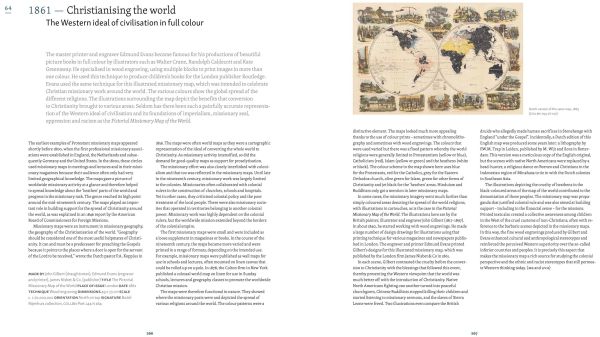
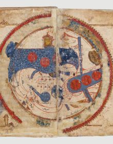
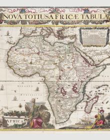
Maps that Made History is like a 1000-year-long journey around the world; every one of the carefully selected maps featured here has influenced the course of history in some way. This beautifully illustrated book gathers 100 marvelous old maps, each with a fascinating story to tell, from a 12th century Persian world atlas to a Soviet spy map. These maps were used to resolve conflicts, situate battles, construct a road or a canal, establish important shipping routes, even as propaganda tools. All the maps are reproduced in an oversized format, while accompanying text from an experienced team of historians explains the importance of each one.
Look Inside
Specifications
- Publisher
- Lannoo Publishers
- ISBN
- 9789401485302
- Published
- 12th Dec 2022
- Binding
- Hardback
- Territory
- USA & Canada
- Size
- 11.02 in x 13.39 in
- Pages
- 432 Pages
- Illustrations
- 370 color, 30 b&w
Our Catalogs
View Catalogs
Browse Our Books
Browse
Recently Viewed
Please log-in or create an account to see your recent items.